
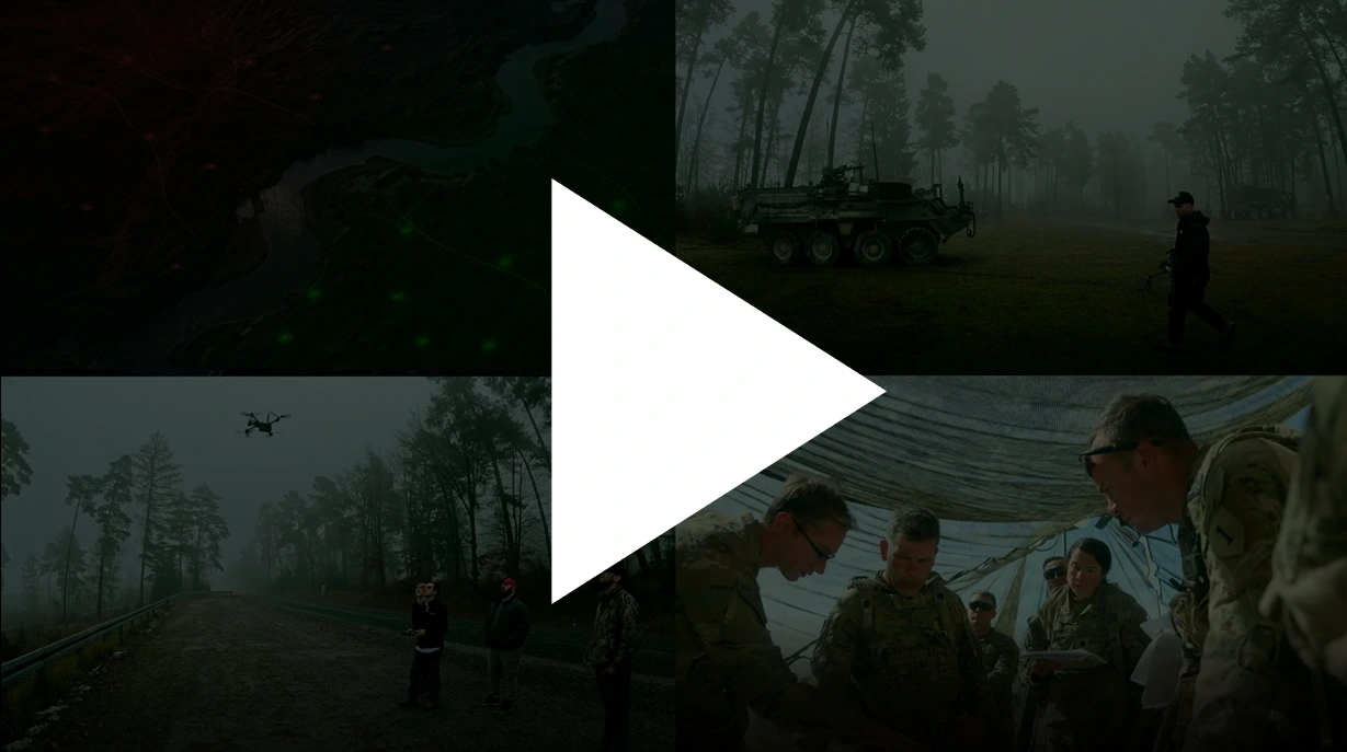
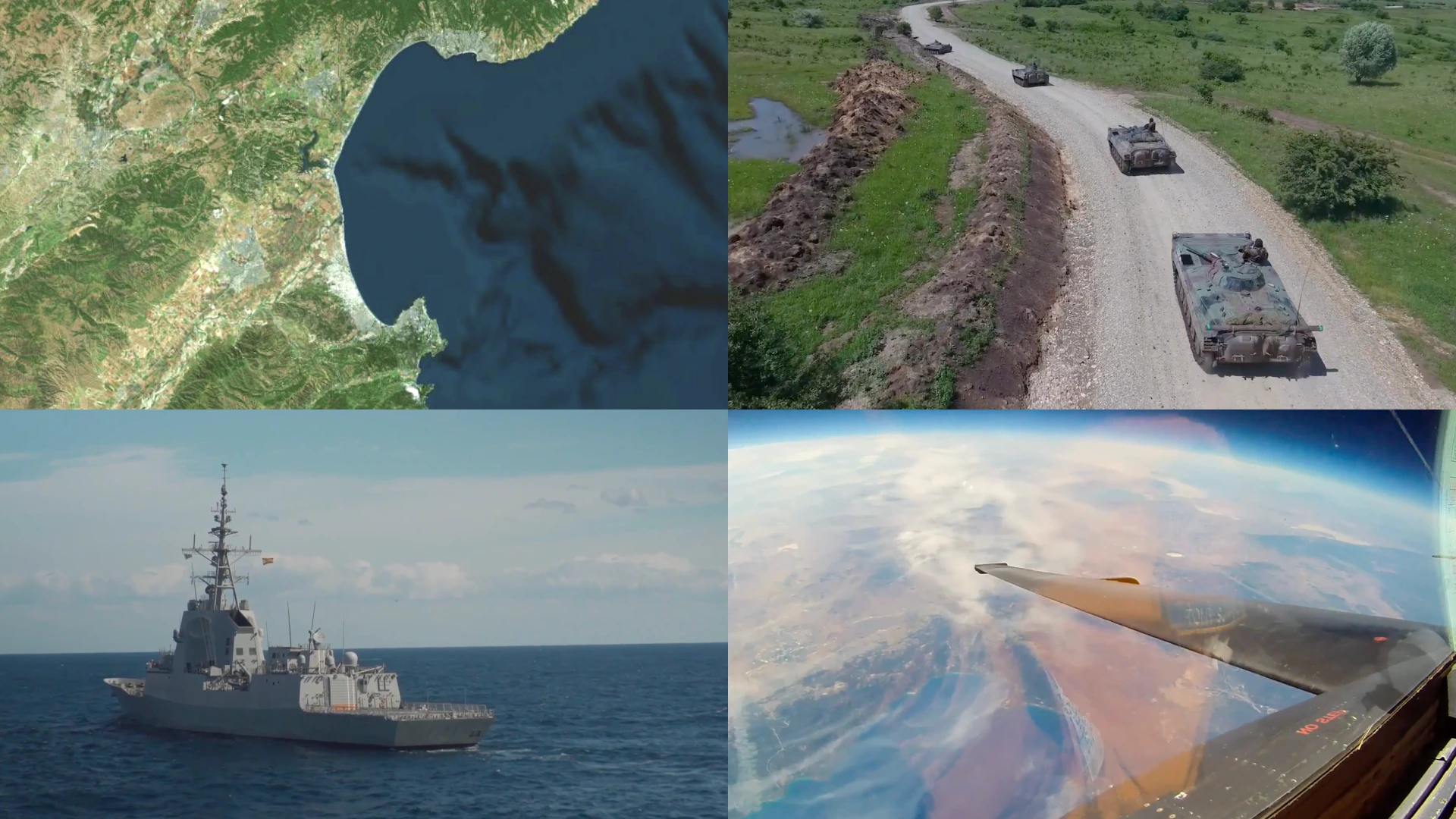
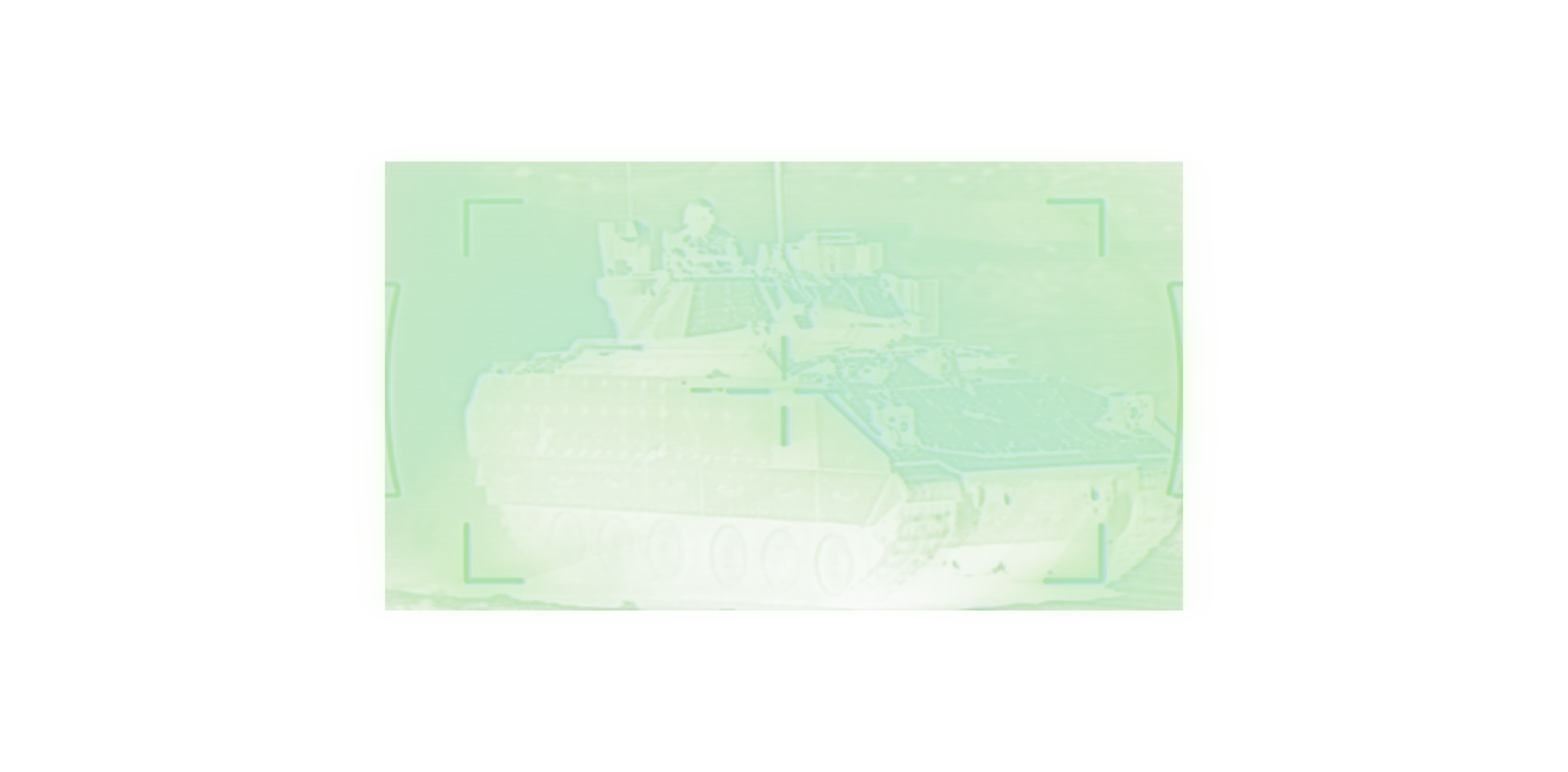
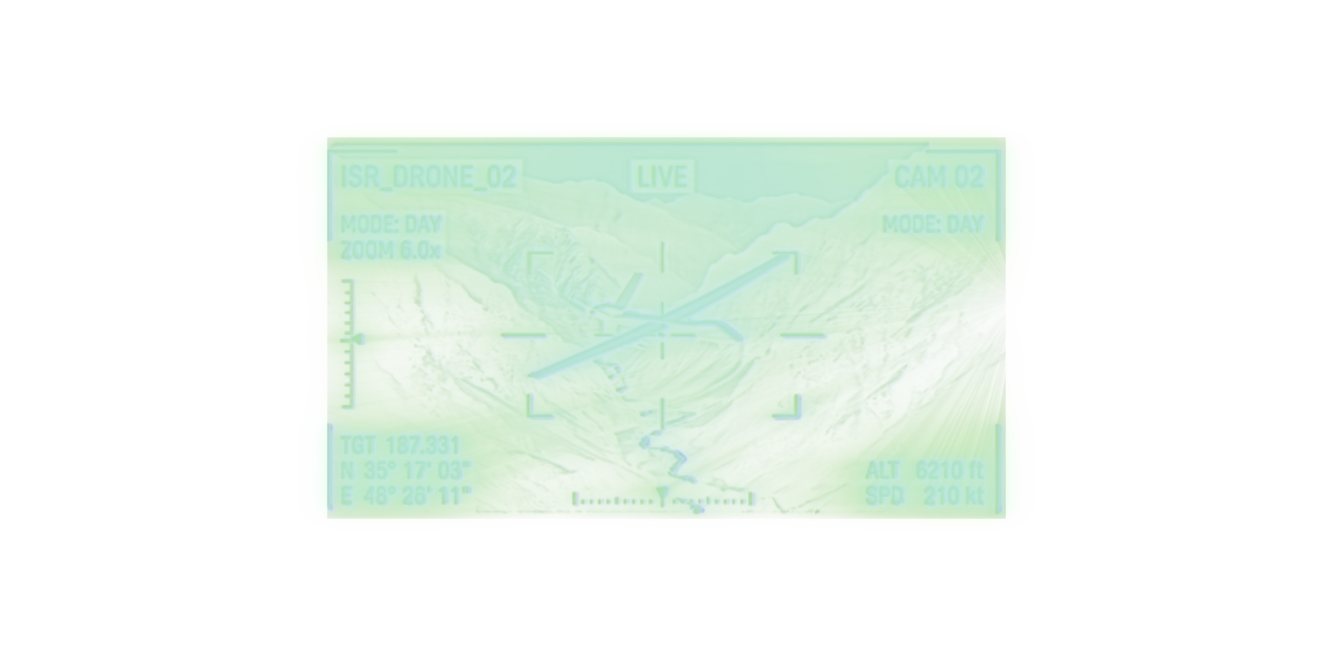
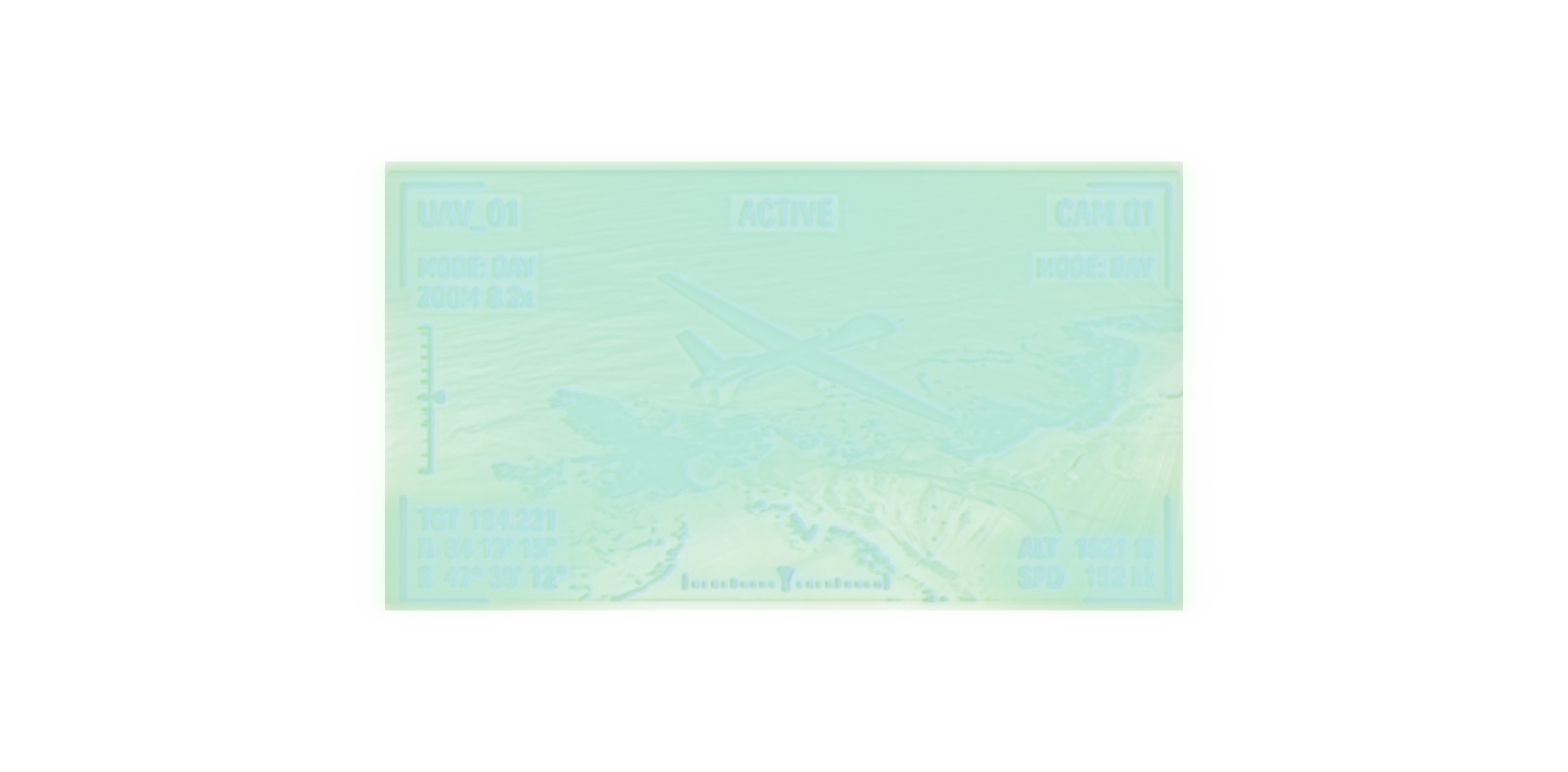
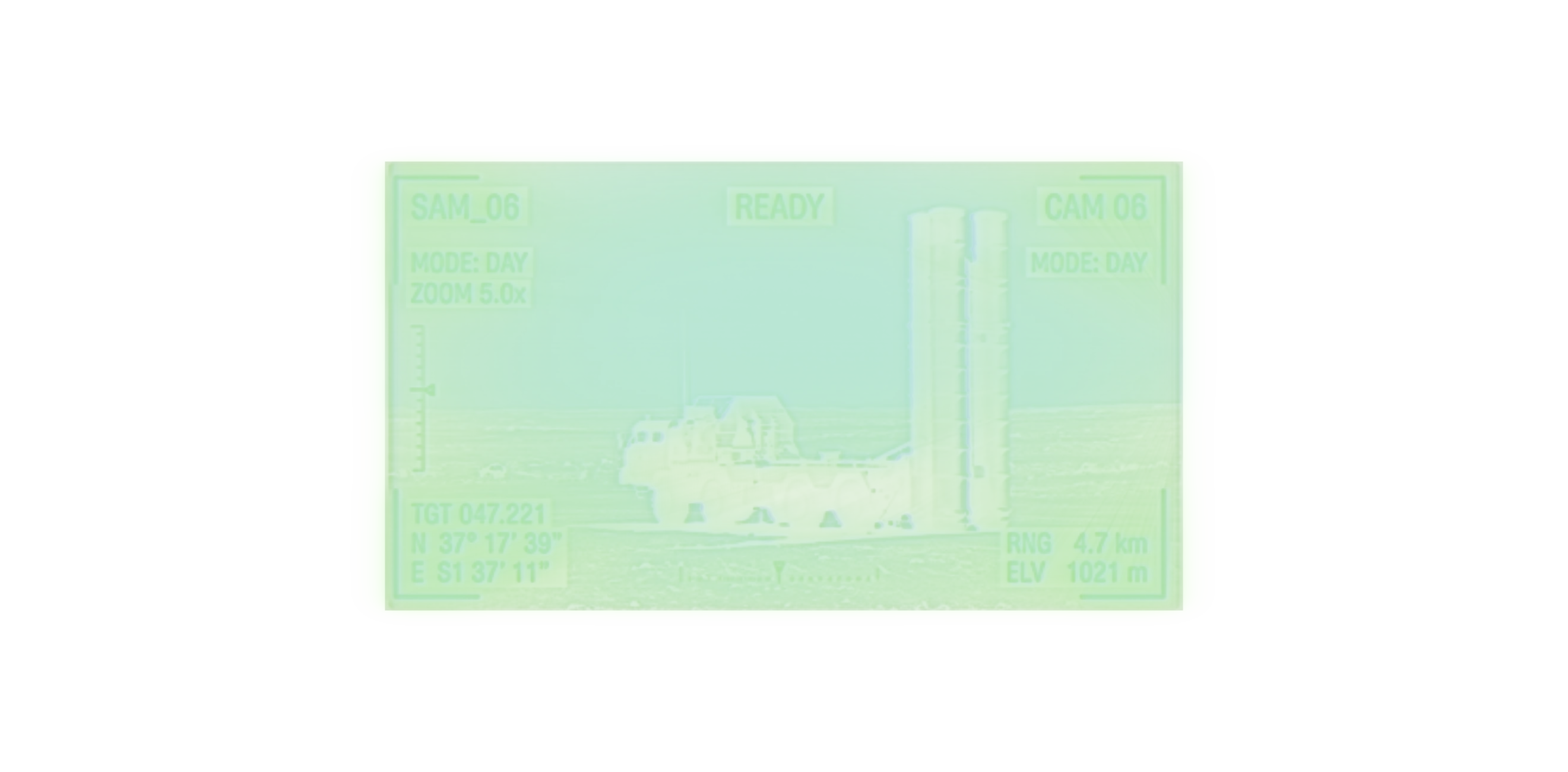
Interoperability & Compatibility
Integrates across vendor-diverse platforms, autonomy stacks, any sensor, mission system, TAK/CIP/COP tool, or third-party model through an open, modular (MOSA) architecture.
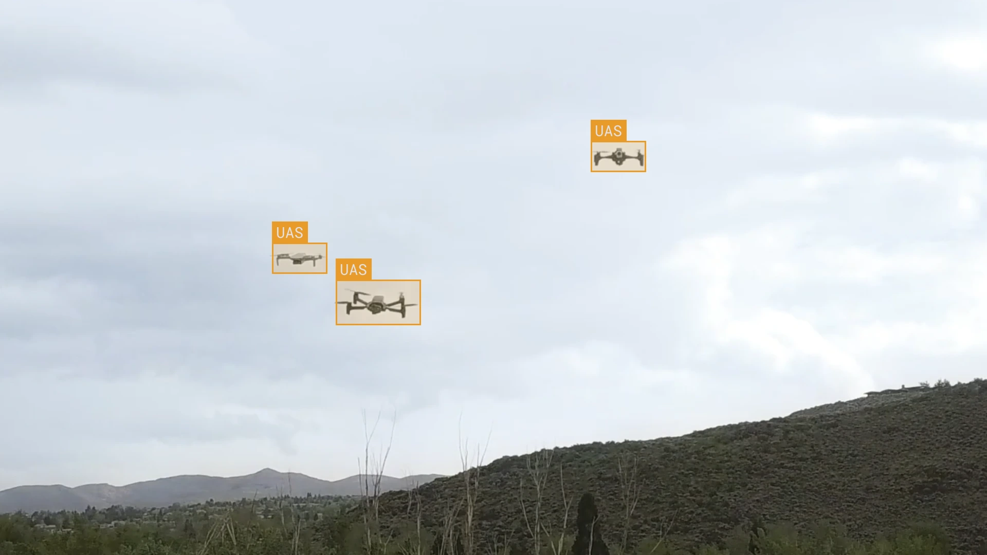
Turn raw sensor data into real-time detection, classification, and targeting at the edge.
Scroll
Modern operations generate more sensor data than teams can process, creating bottlenecks between collection, analysis, and action.
Frontline Perception helps operators find, prioritize, and adapt to emerging threats in real time, turning complex sensor data into decision advantage – right when and where the misson happens.
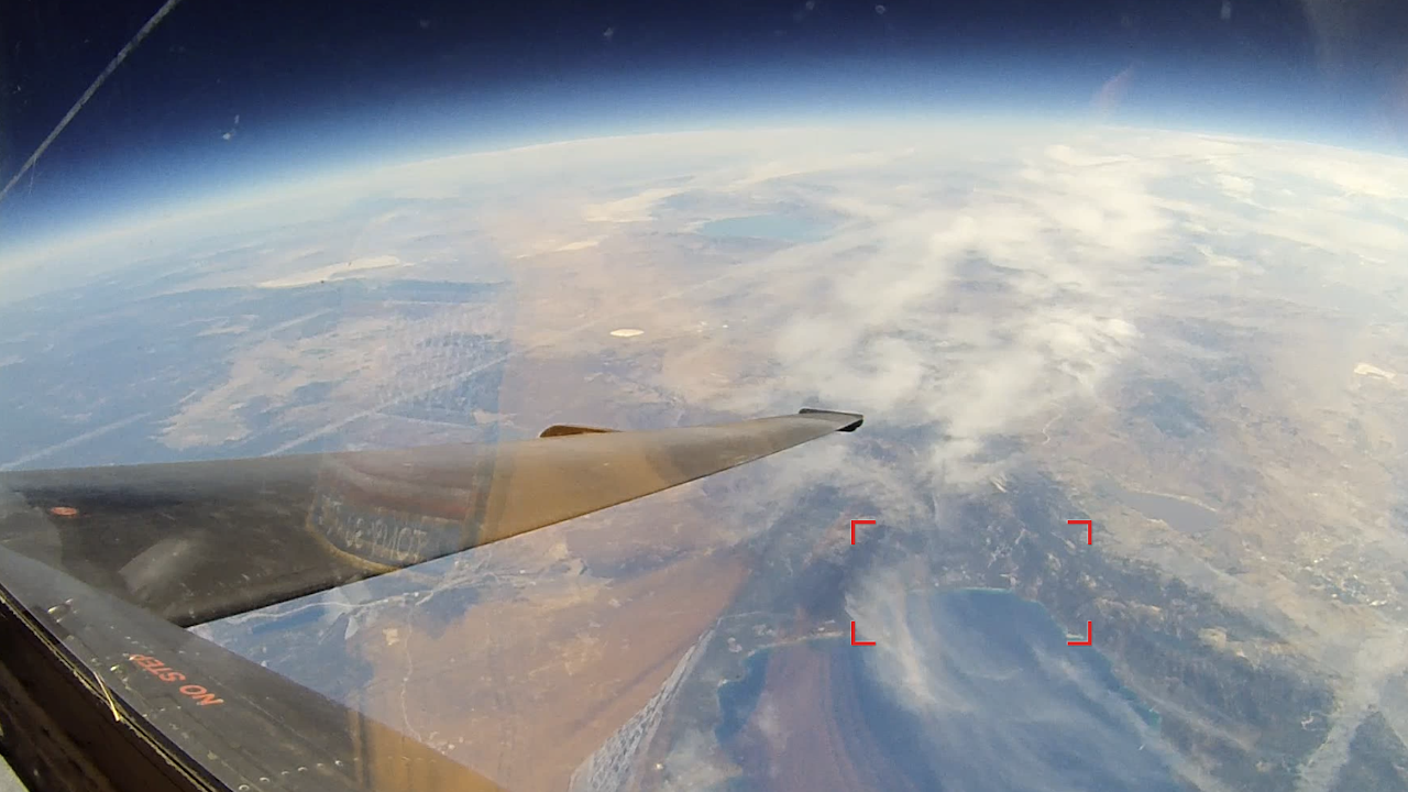
Instantly translate sensor inputs into detections, classifications, and persistent tracks that help operators see, identify, and prioritize threats faster in DDIL environments.
Automatically filter noise from large volumes of raw, sensor-agnostic data and prioritize alerts based on mission parameters, reducing the cognitive load on frontline teams.
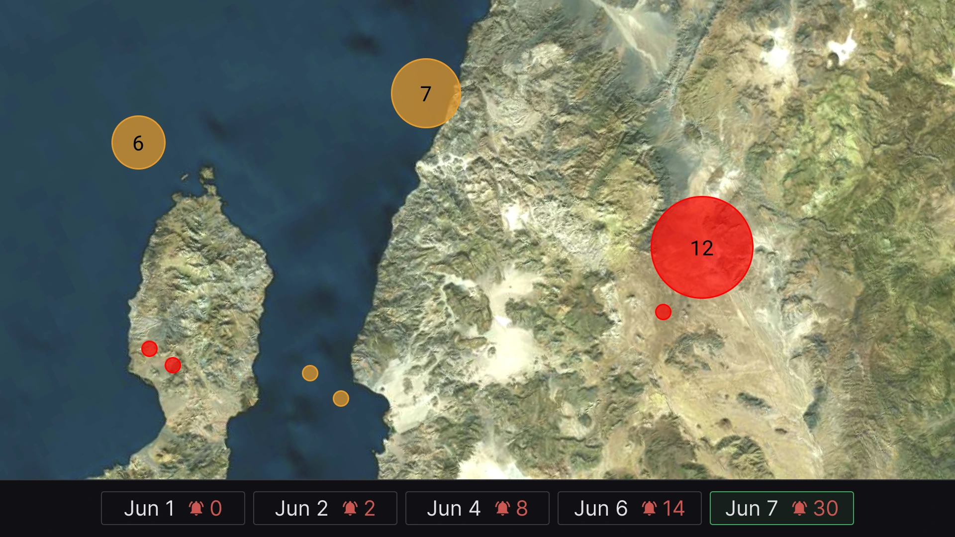
Learn and exploit how targets and areas evolve across time and location, from individual detections to broader activity patterns.
Deliver detections, tracks, alerts, and targeting data to the right operators, systems, and platforms in real time – no cloud connectivity required.
Integrates across vendor-diverse platforms, autonomy stacks, any sensor, mission system, TAK/CIP/COP tool, or third-party model through an open, modular (MOSA) architecture.
Maintains real-time detection, classification, and model adaptation in contested and disconnected environments – without cloud dependency.
Retrain, tune, label, and deploy ATR models directly at the edge without the risks of cloud infrastructure.
Continuously adapts detections, prioritization, and targeting based on changing mission conditions, sensor inputs, and operator-defined objectives.
Optimizes models to run on constrained edge hardware including Raspberry Pi + Hailo and Snapdragon.
Combines EO, IR, RF, radar, ELINT, and external sensor inputs into correlated detections and tracks, then automatically shares intelligence across assigned AOs and units.
Host, tag by keyword, organize, and resiliently distribute proprietary, open-source, legacy, and third-party models across mesh and disconnected networks.
Search by mission or area of interest, import KML/KMZ geofences, visualize MGRS-based operations, and manage mission areas through an interactive map.
Optical flow-powered tracking maintains object continuity across frames for more reliable detections and situational awareness.
Delivers real-time detections and targeting workflows with sub-6-second operational timelines.