

Interoperability & Compatibility
Integrates across vendor-diverse platforms, autonomy stacks, any sensor, mission system, TAK/CIP/COP tool, or third-party model through an open, modular (MOSA) architecture.
Transform siloed information into shared awareness for faster, clearer, coordinated decisions.
Scroll
Critical information is often trapped in disconnected systems, delaying decisions, limiting knowledge, and increasing risk – especially when communications go dark.
Frontline Command organizes, routes, and delivers the right information to the right people and platforms at the right time, creating shared situational awareness and accelerating mission-ready decisions.
Bring incoming data, sensors, and units into a shared operational context that reduces cognitive load and improves decision-making.
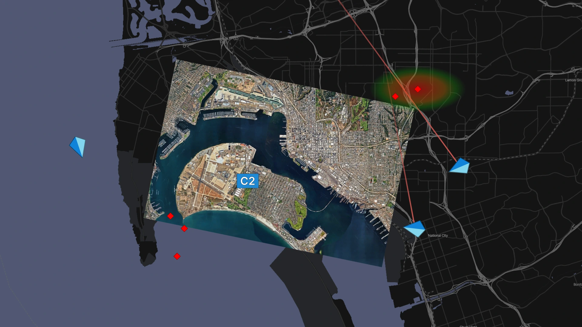
Create edge-to-enterprise understanding through fused satellite imagery, multi-source sensor feeds, threat detections, and mission intel, building a clear operational picture across distributed teams, operators, and every echelon.
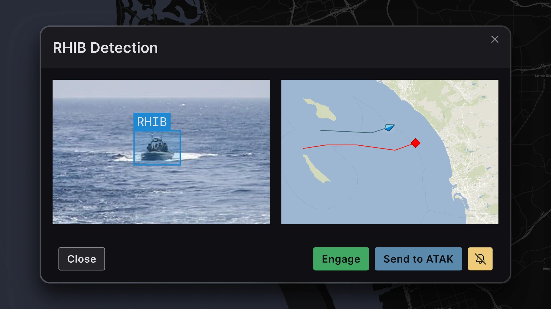
Use AI-enabled workflows, recommendations, and threat prioritization to accelerate and improve mission decisions – while operators stay in control.
Turn decisions into action by distributing tasks, priorities, and mission updates across units and systems in real time, especially in degraded or contested environments.
Integrates across vendor-diverse platforms, autonomy stacks, any sensor, mission system, TAK/CIP/COP tool, or third-party model through an open, modular (MOSA) architecture.
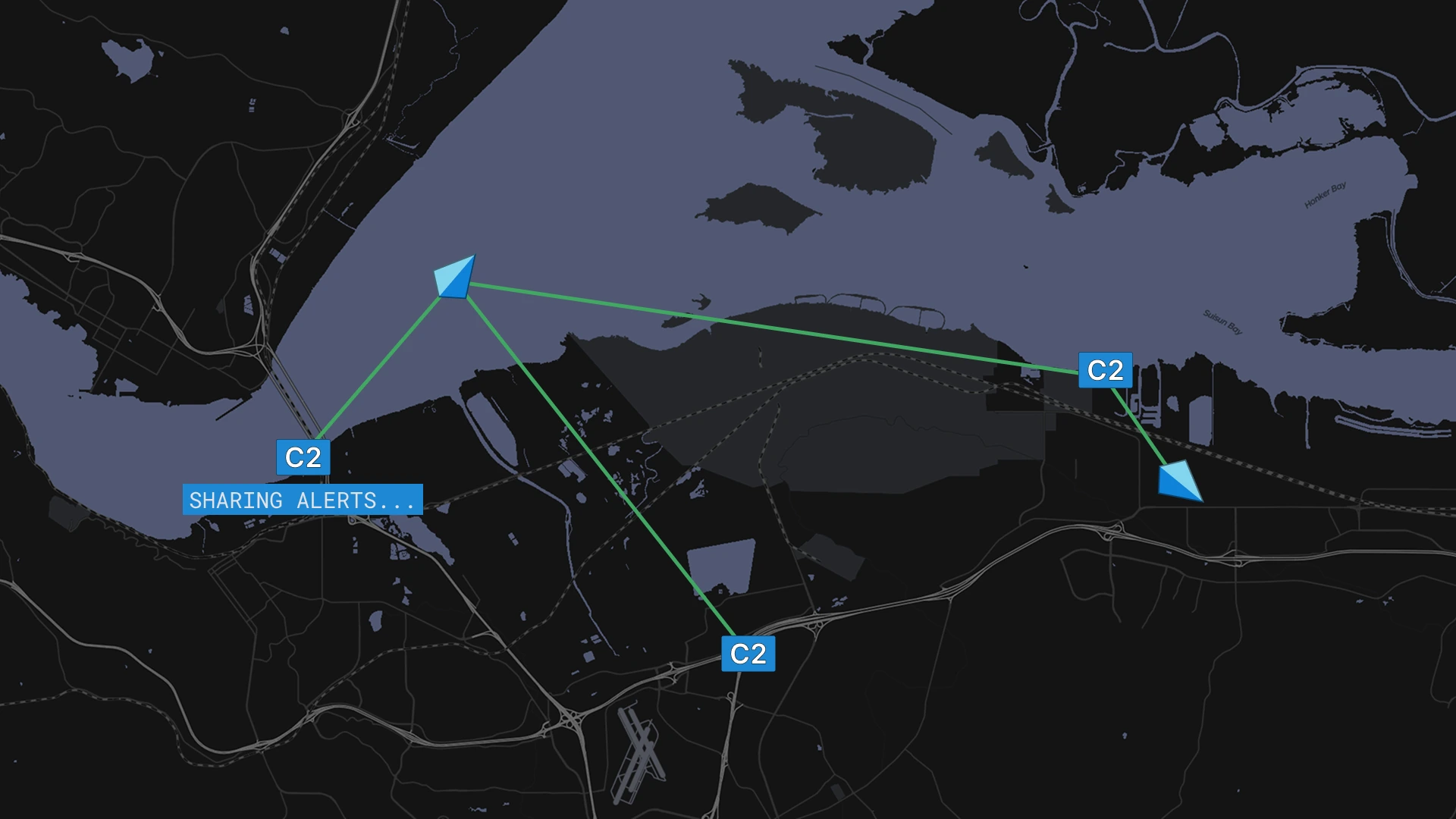
Maintains the flow of detections, models, and operational information across distributed tactical systems – even when connectivity is degraded or disconnected.
Enables decentralized decision-making so teams can act on commander intent while maintaining mission continuity in denied, degraded, and disconnected environments.
Continuously adapts information routing, prioritization, and decision support based on changing mission conditions, operational activity, and commander priorities.
Strategically routes mission-relevant detections, alerts, and intelligence to the right units, platforms, and command nodes.
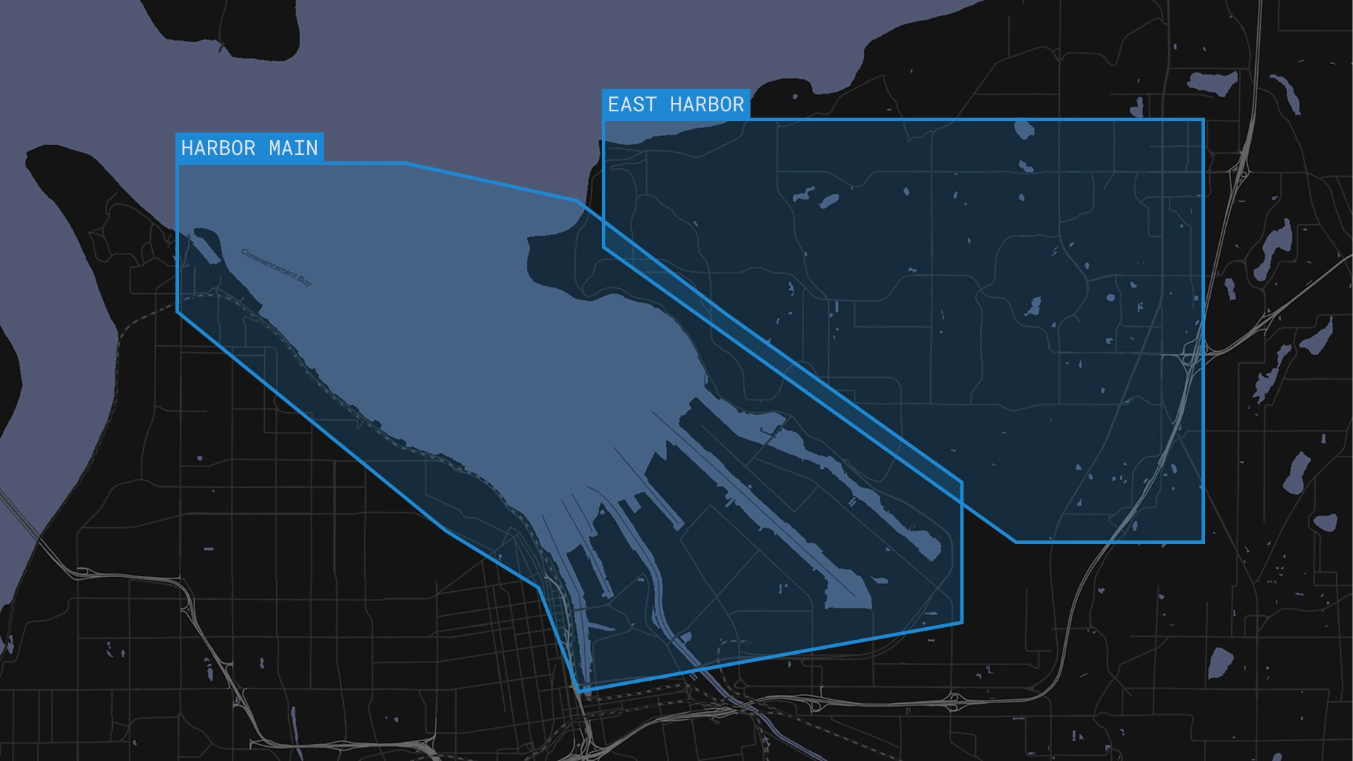
Organizes operations, communications, data routing, and situational awareness around Areas of Operation aligned to military command structures.
Creates and shares geospatial waypoints, routes, and mission markers. Follows specific units, assets, and AOs to provide real-time updates, detections, and events that support pattern-of-life analysis.
Automatically identifies adjacent units, operational ownership, and coordination channels when units or threats cross AO boundaries.
Keeps operators in control of prioritization, targeting, and operational decision-making workflows.
Continuously records operational actions, detections, communications, and mission activity for real-time assessment and after-action review.